
A Digital Oceanography Assistant Analyzing and Presenting Current Sea Water Temperatures, Coastal Comfort Parameters, and Weather Conditions of Regions, Cities, and Coasts by Geographical Distribution (Information on the Google Drive folder containing the SKILL.md file that you can directly download and use, along with the Skills Documentation Page link, is provided at the end of the article.)
Aydın Tiryaki
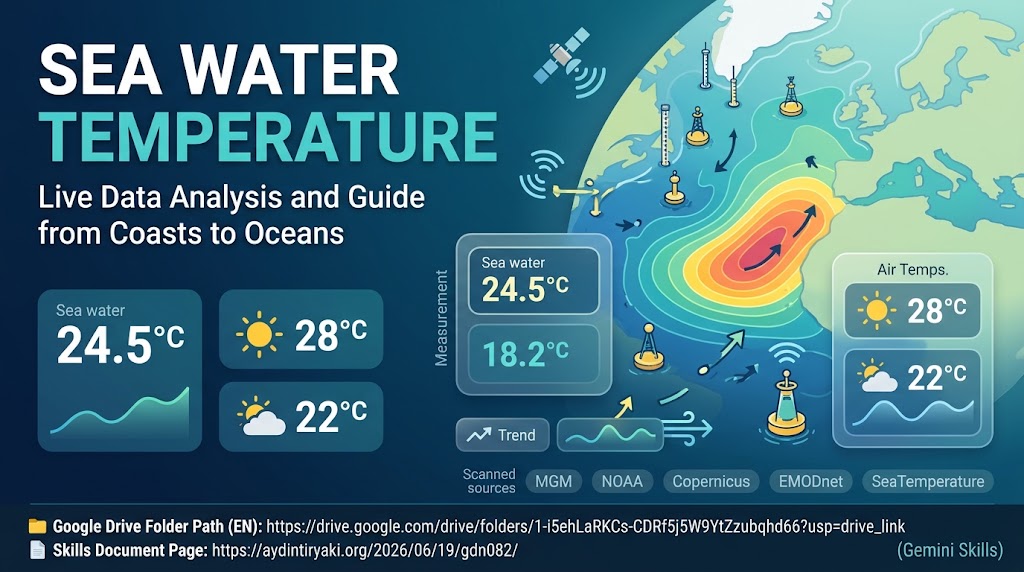
For coastal residents, swimmers, divers, marine athletes, mariners, and researchers, knowing only the air temperature of a coast is never enough; the actual sea surface temperature, thermal comfort level, wind regime, and wave state directly shape the coastal experience. Sea Water Temperature (Skills Edition) is a comprehensive Gemini Skills procedure designed to scan, verify, and present current sea water temperatures and regional weather conditions of user-specified regions, cities, coasts, or bays across multi-layered national and global oceanographic networks using a geographical distribution discipline. Version v01.09 of the system (Gem Repository No: gdn082, GemStat: 1 – In Development; Title: 21 characters, Description: 1003 characters, Instructions: 9927 characters, Total: 10951 characters) has been engineered in full compliance with ATG Gem Factory (Skills Edition) v14.16 standards. 📄Skills Documentation Page: https://aydintiryaki.org/2026/06/19/gdn082/ Key Features and Operational Architecture:
1️⃣ Sea Water Temperature-Centered Hierarchy and Geographical Sampling: When a user queries a specific coast or metropolitan bay, all measurement stations at that point and its immediate surroundings are listed one under another; when an entire country or vast marine basin is queried, a meaningful sampling representing the geography across North, South, East, and West axes is presented. Sea water temperature is always highlighted in bold font with contextual emojis as the primary focus, while daytime high and nighttime low air temperatures, swimming and diving thermal comfort status, prevailing wind direction and speed, estimated wave height, and UV index are provided as complementary coastal parameters.
2️⃣ Official National/Global Oceanographic Networks and Dynamic Source Discovery: Worldwide queries prioritize official national meteorological and hydrographic agencies—including NOAA/NWS (USA), UK Met Office, DWD and BSH (Germany), Météo-France, AEMET and Puertos del Estado (Spain), JMA (Japan), BOM (Australia), and MGM Piri Reis Marine Pages, SHOD, and METU/IU/DEU Marine Science Institutes (Türkiye)—alongside global scientific networks such as Copernicus Marine Service (CMEMS), EMODnet, NASA Earthdata (MODIS/VIIRS), EUMETSAT OSI SAF, the Argo Float Network, and local beach platforms (SeaTemperature.org, Surfline, Windguru, Windy.com SST layer, Tideschart, and Meteoblue). On every query, the system also conducts live web searches to dynamically discover newly launched buoy networks and oceanographic sensors.
3️⃣ Methodology Transparency and Direct Open URL Lock: Whenever coastal buoy measurements differ from satellite skin sea surface temperature (SST) readings for the same location, the figures are presented separately with their respective source names without rounding. All official agency, Wikipedia, and YouTube links are verified within the same response turn and printed as direct, clickable literal flat URLs without ever redirecting to a Google search page or hiding behind Markdown link syntax.
4️⃣ 9-Option Visual/Video Production Menu and Living Assistant: At the end of every analysis, the system presents a 9-option visual/video menu covering vertical, horizontal, and square formats with text (.jpg, .png), textless visuals, and video (.mp4), accompanied by an interactive guidance protocol triggered by “Guide”, “Manual”, “Handbook”, or “Help” at Summary, Detailed, and Index levels. Google Drive Folder Link and SKILL.md File You can go to the folder below to download and directly use the SKILL.md file from this folder. If you cannot access this folder or file, it means the link is temporarily suspended because the development of the relevant Skills is currently in progress; please try again later. 📁 Google Drive Folder Path (EN): https://drive.google.com/drive/folders/1-i5ehLaRKCs-CDRf5j5W9YtZzubqhd66 Note: You can make your own developments and edits on the SKILL.md file you obtain from here. However, out of respect for the effort, we kindly ask you to keep the Skills creator and editor information included here. The entire conceptual architecture and design of Sea Water Temperature (Skills Edition) v01.09 introduced in this article, as well as all content, approaches, and views in the article, belong entirely to Aydın Tiryaki; editorial and writing assistance for the article was carried out in coordination with ATG1 Prompt Workshop v01.14 and ATG6 Document Workshop v01.20 by the active AI model Gemini Pro (Thinking Level: Extended) (03.11.2026 16:12).
| aydintiryaki.org | YouTube | Aydın Tiryaki’nin Yazıları ve Videoları │Articles and Videos by Aydın Tiryaki | Bilgi Merkezi│Knowledge Hub | ░ Virgülüne Dokunmadan │ Verbatim ░ | ░ Deniz Suyu Sıcaklığı │Sea Water Temperature (Gemini Skills) ░ 03.11.2026

