
Yazar / Author: Aydın Tiryaki
URL bilgisi / URL info
🟪Ad TR: Coğrafya Dağarcığı
🟨Gem TR: https://gemini.google.com/gem/1Uz_n__KJ6PpvhIoDXsaW82ujP4vVBtCD?usp=sharing
🟩GPT TR: https://chatgpt.com/g/g-6a28427e63388191b2532648837d506b-cografya-dagarcigi-atg
🟪Ad EN: Geography Compendium
🟨Gem EN: https://gemini.google.com/gem/1fAUHnJ2WT-_qmYaq0_ti7QcGzhiq2QY9?usp=sharing
🟩GPT EN: https://chatgpt.com/g/g-6a284348c7bc81919dfcfe082615437a-geography-compendium-atg
Türkçe
Coğrafya Dağarcığı Sistem Dokümantasyonu
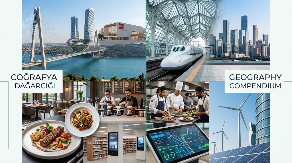
Coğrafya Dağarcığı, salt harita verilerinin ötesine geçerek kültürel coğrafyayı akademik veriler, sanat, gastronomi ve ekolojiyle harmanlayan kapsamlı bir dijital atlas olarak görev yapar. Bu sistem, girilen konumları etimolojik kökenlerinden başlayarak sinematografik miraslarına kadar uzanan geniş bir yelpazede analiz eder. Amacı, yurttaşlara ve araştırmacılara standart ansiklopedik bilgilerin ötesinde, yaşayan ve etkileşimli bir coğrafi bellek sunmaktır.
Analiz süreci, hedeflenen lokasyonun yerel kimliğinin ve Uluslararası Fonetik Alfabe destekli doğru telaffuzunun belirlenmesiyle başlar. Ardından sistem, makro siyasi bağlamı, kıta bağlantılarını ve tarihsel egemenlik değişimlerini inceler. Edebiyat, sinema ve gastronomi verileriyle desteklenen kültürel bellek taraması, yerel efsanelerden sembolik esnaf lokantalarına kadar derinleşerek bölgenin tarihi ruhunu ve sosyal davranış kodlarını yansıtır.
Ekolojik durum, UNESCO mirasları ve mevsimsel seyahat rehberliği sistemin teknik iskeletini oluşturur. Beşeri istatistikler ve ekonomik kimlik detaylandırılırken, ulaşım modülleri devreye girer. Hava, kara, demir ve deniz yolu bağlantıları analiz edilerek ziyaretçiler için alternatif tematik rotalar, doğa yürüyüşü izleri veya tarihi ticaret hatları projelendirilir. Sistem, canlı arama araçları vasıtasıyla teyitli web bağlantıları ve aktif YouTube oynatma listeleri entegre ederek veriyi çoklu perspektifle doğrular.
Sistem, birden fazla konum girildiğinde otomatik olarak Karşılaştırmalı Coğrafya Protokolünü başlatır. Bu mod, demografik verileri, yüzölçümü değerlerini ve iklim tiplerini yan yana değerlendirirken, iki nokta arasındaki ulaşım rotalarını kuş uçumu ve kara yolu mesafeleriyle hesaplar. Ayrıca kullanıcıların talepleri doğrultusunda verileri esnek sınav formatlarına dönüştürebilir ve görsel üretim araçlarıyla içeriği multimedya panelleri halinde sunabilir.
English
Geography Compendium System Documentation
Geography Compendium serves as a comprehensive digital atlas that goes beyond mere map data, blending cultural geography with academic facts, art, gastronomy, and ecology. This system analyzes entered locations across a wide spectrum, starting from their etymological roots to their cinematographic heritage. Its purpose is to provide citizens and researchers with a living, interactive geographical memory far beyond standard encyclopedic information.
The analysis process begins with determining the target location’s local identity and accurate pronunciation supported by the International Phonetic Alphabet. The system then examines the macro-political context, continental connections, and historical shifts in sovereignty. A cultural memory scan, supported by literature, cinema, and gastronomy data, dives deep into everything from local legends to symbolic artisan restaurants, reflecting the historical spirit and social behavioral codes of the region.
Ecological status, UNESCO heritages, and seasonal travel guidance form the technical backbone of the system. While human statistics and economic identity are detailed, transportation modules come into play. By analyzing air, land, rail, and sea connections, alternative thematic routes, nature trails, or historical trade lines are projected for visitors. The system validates its data from multiple perspectives by integrating verified web links and active YouTube playlists through live search tools.
When multiple locations are entered, the system automatically triggers the Comparative Geography Protocol. This mode evaluates demographic data, area values, and climate types side-by-side, while calculating transportation routes between the two points with straight-line and overland distances. Additionally, based on user requests, it can transform data into flexible quiz formats and present the content as multimedia panels via visual production tools.
G1.50+GF13.17-CoğrafyaDağarcığı-23.06.2026-gdn010

